Digital Terrain Modelling Module

<< Click to Display Table of Contents >>

Navigation:  Modules >

Digital Terrain Modelling Module

Use the Digital Terrain Modelling Module to:

•Generate Surfaces

•Calculate volumes

•Generate Ponds

•Extract sections

To activate the Digital Terrain Modelling Module use the Module Selector.
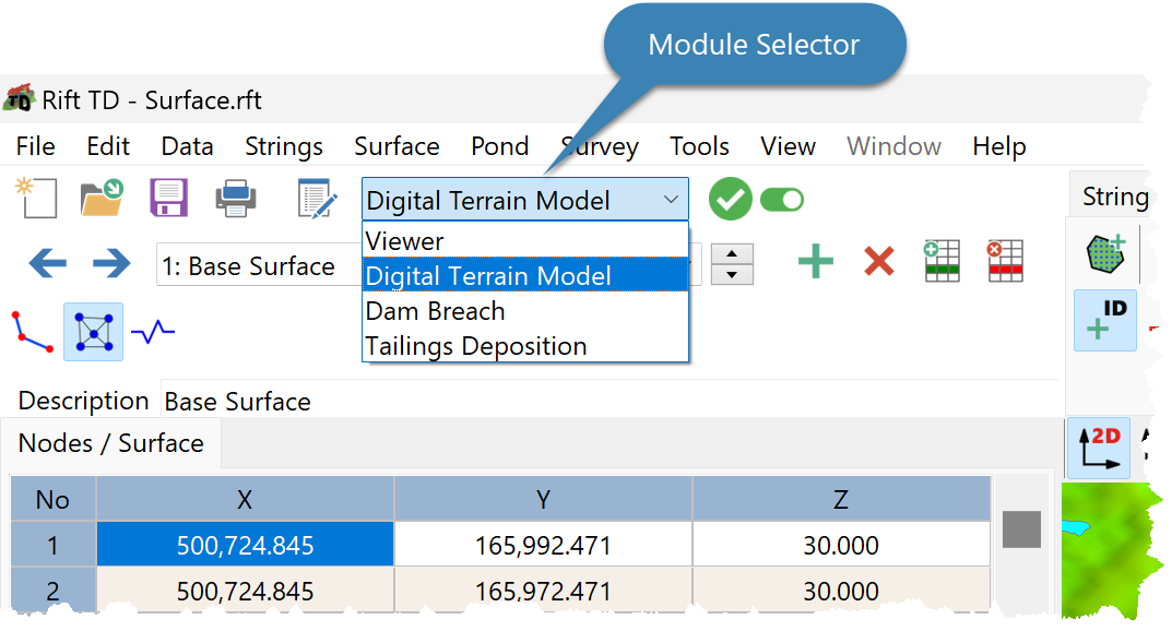
lbModuleSelectorDTM

Rift TD has significant Digital Terrain Modelling capacity, including:

•Data Import:

oASCII Files

oComma Delimited (csv) Files

oDXF Files

oRift Surface Files

•Node Triangulation

•String Operations:

oInterpolate Nodes

oGenerate Toe Points

oDrape Strings to a Surface

oExtend a String to a Surface

oGenerate an Offset string

oSet the Surface Slope

oExtract Longitudinal and Cross Sections

•Multiple Surface support

•Volume Calculations

•Surface Merging

•Generating Ponds

•Generating Embankments