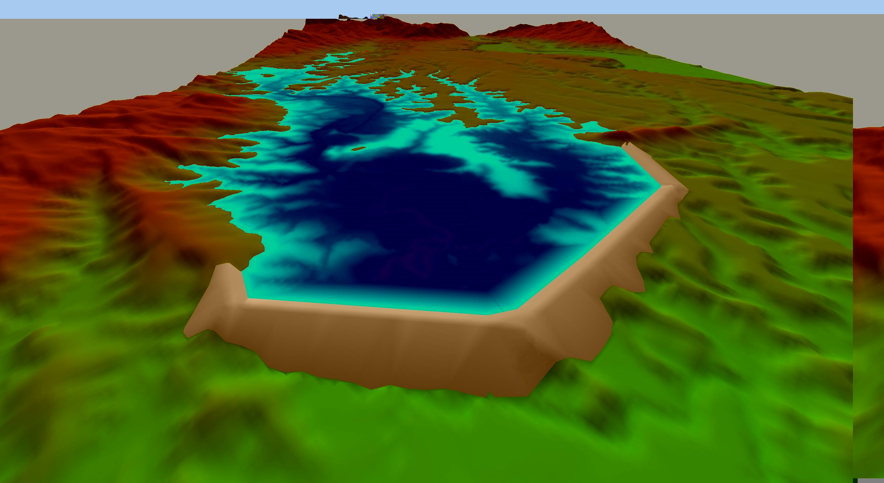
Pond Wizard
Water management is key to the good tailings storage facility management and operation.
To assist the Digital Terrain Modelling Module incorporates a powerful Pond Wizard to generate pond volume elevation curves.
Generate a detailed volume elevation curve at a defined elevation increment. Output comprises:
- Elevation
- Plan area
- Basin slope area
- Volume
Following pond generation you can easily export data:
- Export the volume elevation data to a text or csv file
- Copy volume elevation data to the clipboard
- Copy graphics to the clipboard

Supernatant Pond
Generate supernatant pond volume elevation curves, to a specified freebaord, volume, or elevation, during deposition modelling.