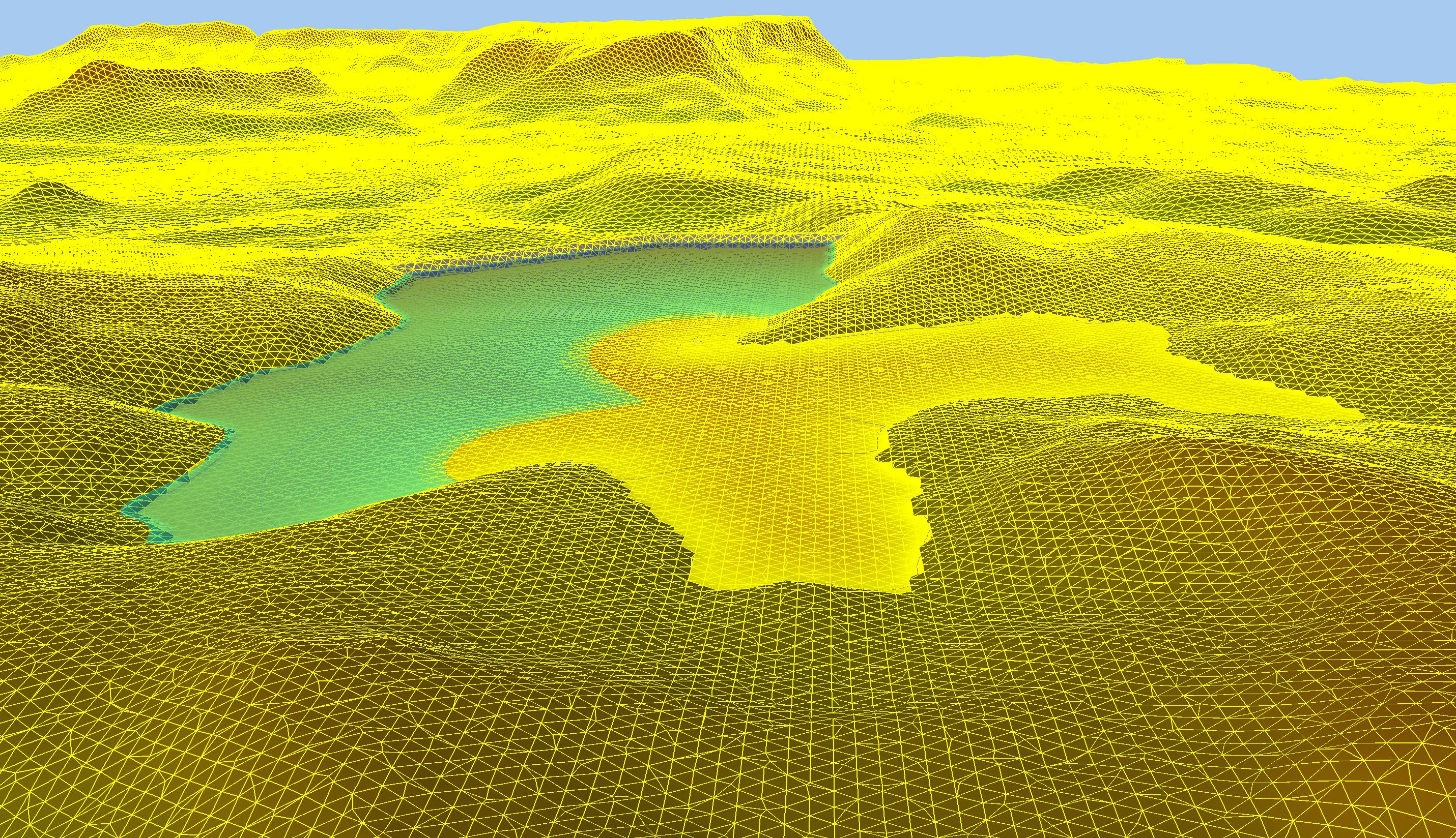
Digital Terrain Modelling
Use the Digital Terrain Modelling Module, which is included with the Tailings Deposition Module , to prepare Tailings Deposition and Dam Breach Surfaces.
Functionality includes:
- Multiple model support
- Surface triangulation
- Strings
- Break lines
- Cut and fill volumes
- Extracting sections
- Surface manipulation
Wizards
The Digital Terrain Modelling Module has two wizards:
- The embankment wizard to quickly model embankments
- The pond wizard to generate a pond and assess pond volume elevation data
Data
Our software supports several data formats:
- Import data points from DXF, comma delimited (csv) or text files
- Export data to DXF, comma delimited (csv), or text files
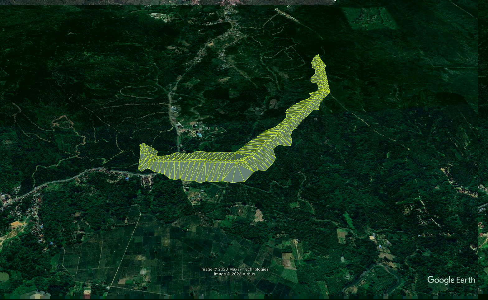
- Export surfaces to Google Earth
- Paste data from the clipboard
- Copy data or graphics to the clipboard
- Save graphics to image files for presentation or import into other software