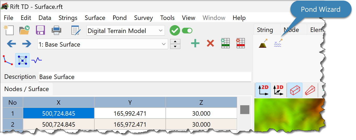
To generate a Pond using the Pond Wizard:
•Click Pond > Pond Wizard; or
•Click the Pond Wizard Button.
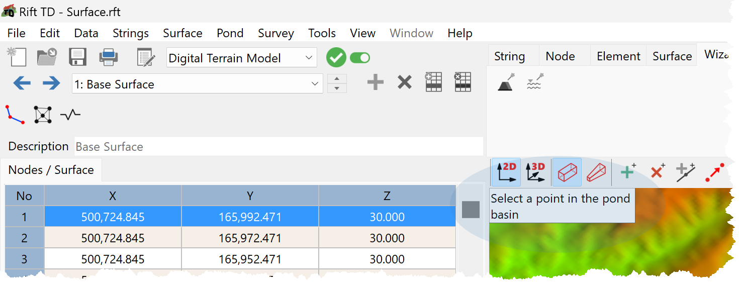
•Click on a point in the pond basin.
•Enter pond parameters:
oX-coordinate (if required).
oY-coordinate (if required).
oMaximum pond elevation.
oVolume elevation interval: The elevation interval for volume calculations.
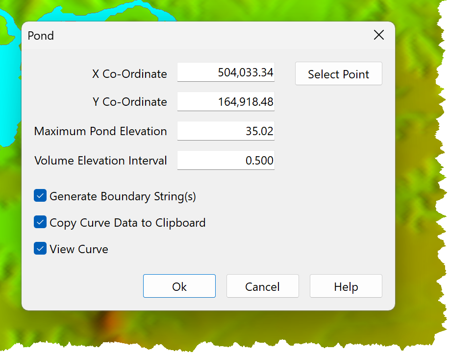
•Options when generating the pond are:
oGenerate Boundary String(s): Generate pond boundary strings and copy them to the String data type.
oCopy Curve Data to Clipboard: Copy the pond volume elevation data to the clipboard.
oView Curve: Show the pond volume elevation curve.
•Click Select Point if you want to reselect the pond seed coordinate.
•Click OK.
•The Pond is generated and shown on the DTM View.
•The Pond Volume Elevation curve is shown if View Curve is ticked.
View and Delete pond volume elevation curves following generation.