To set the elevations (z-coordinate) of identified nodes:
•Click Surface Model > Nodes > Identify and Manipulate > Manipulate > Set Elevation; or
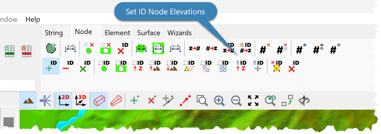
•Click the Set Identified Node Elevations Button.
•Enter the node elevation.
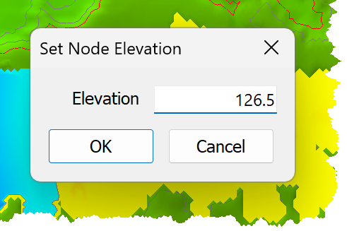
•Click OK.
Set Elevations
|
<< Click to Display Table of Contents >> Navigation: Modules > Digital Terrain Modelling Module > Data > Data Types > Nodes > Identify and Manipulate > Manipulate > Set Elevations |
To set the elevations (z-coordinate) of identified nodes:
•Click Surface Model > Nodes > Identify and Manipulate > Manipulate > Set Elevation; or
•Click the Set Identified Node Elevations Button.
•Enter the node elevation.
•Click OK.